 We need new tools for wildfire prevention going forward.
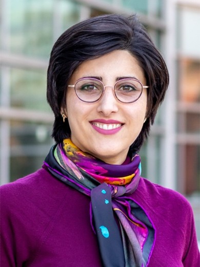
Elahe Soltanaghai, assistant professor of computer science and electrical and computer engineering at the University of Illinois Urbana-Champaign, aims to deliver one.
Elahe Soltanaghai is an assistant professor of Computer Science at the University of Illinois Urbana-Champaign. Her research spans the areas of wireless networking and sensing with applications in IoT, Cyber-Physical Systems, and Mixed Reality. Previously, she was a postdoctoral researcher at Carnegie Mellon University. She received her PhD in Computer Science from University of Virginia. Her work has been published in premier conferences and journals in the areas of mobile and ubiquitous computing and network systems. She has been named one of the 10 Rising Star Women in Networking and Communications in 2021. She is also the recipient of Google Research Scholar Award (2022), and ACM SIGMOBILE Dissertation Award (2021).
Sensing Beneath the Forest Canopy: A New Tool for Wildfire Prevention
Wildfires are unpredictable, fast-moving, and devastating. Making them even harder to manage is fuel hidden beneath the trees – dry vegetation on the forest floor that can turn a small fire into an uncontrollable blaze. Traditional remote sensing tools struggle to see through the dense canopy and assess what’s underneath, leaving a critical gap in wildfire prediction and prevention.
That’s where our work comes in. We’re developing a drone-based system equipped with ultra-wideband radar that penetrates the canopy and maps understory fuel conditions with high precision – offering analysis that can estimate fuel load, moisture content, and distribution beneath the trees.
A key innovation in our system is the use of backscatter tags – tiny, battery-free devices that act as passive radar reflectors. These tags are strategically placed in fire-prone areas and are designed to enhance the radar’s ability to detect and characterize ground-level fuels. By modulating their reflections, the tags provide additional signal contrast, allowing us to differentiate dry vegetation from non-fuel objects like rocks or damp soil. This improves the accuracy of fuel mapping and enables continuous long-term monitoring without requiring power sources in the field.
Our system will also merge data from drones, radar, and satellites to build better wildfire prediction models. By equipping firefighters and forest managers with real-time data, this system has the potential to prevent disasters before they happen.

